HONDWERPEN - update
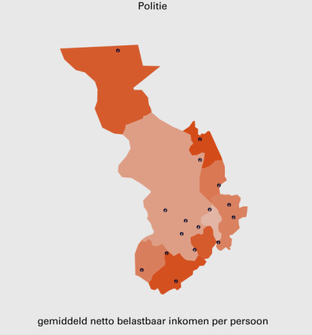
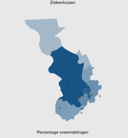
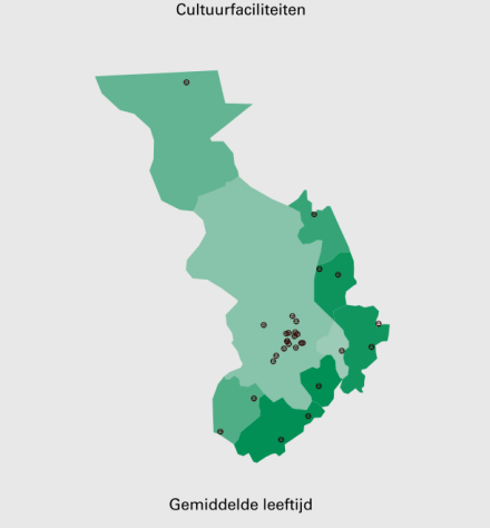
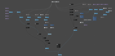
Progress so far: the first thing we’ve done today was working on our second (geographical) layer: adding the location of facilities. We’ve had some problems calibrating the exact locations to the map, but now we’ve reached an acceptable result. The second thing was bringing these two layers together, and the final stage we’ve completed today is simplifying the controls to two different parameters: the ‘facilities’ and the ‘map’ value. At the same time it is shown which layers are active.
The plan for tomorrow is building a basic interface in which the user can toggle these different layers and maps in an easy and clear way from an android phone (probably via TouchOSC)<div>
</div>


