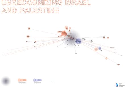
Final poster. Unrecognising Israel and Palestine
Final result of the workshop. So, what we see here is a geographically accurate map of countries that don’t recognise Israel (the blue cicles and lines) or Palestine (the red circles and lines). The size of these circles represent eatch countries BDP.
It’s interesting to find some new coincidences, coclusions, facts or even meanings.
The name is NodeBox’ed also:)
